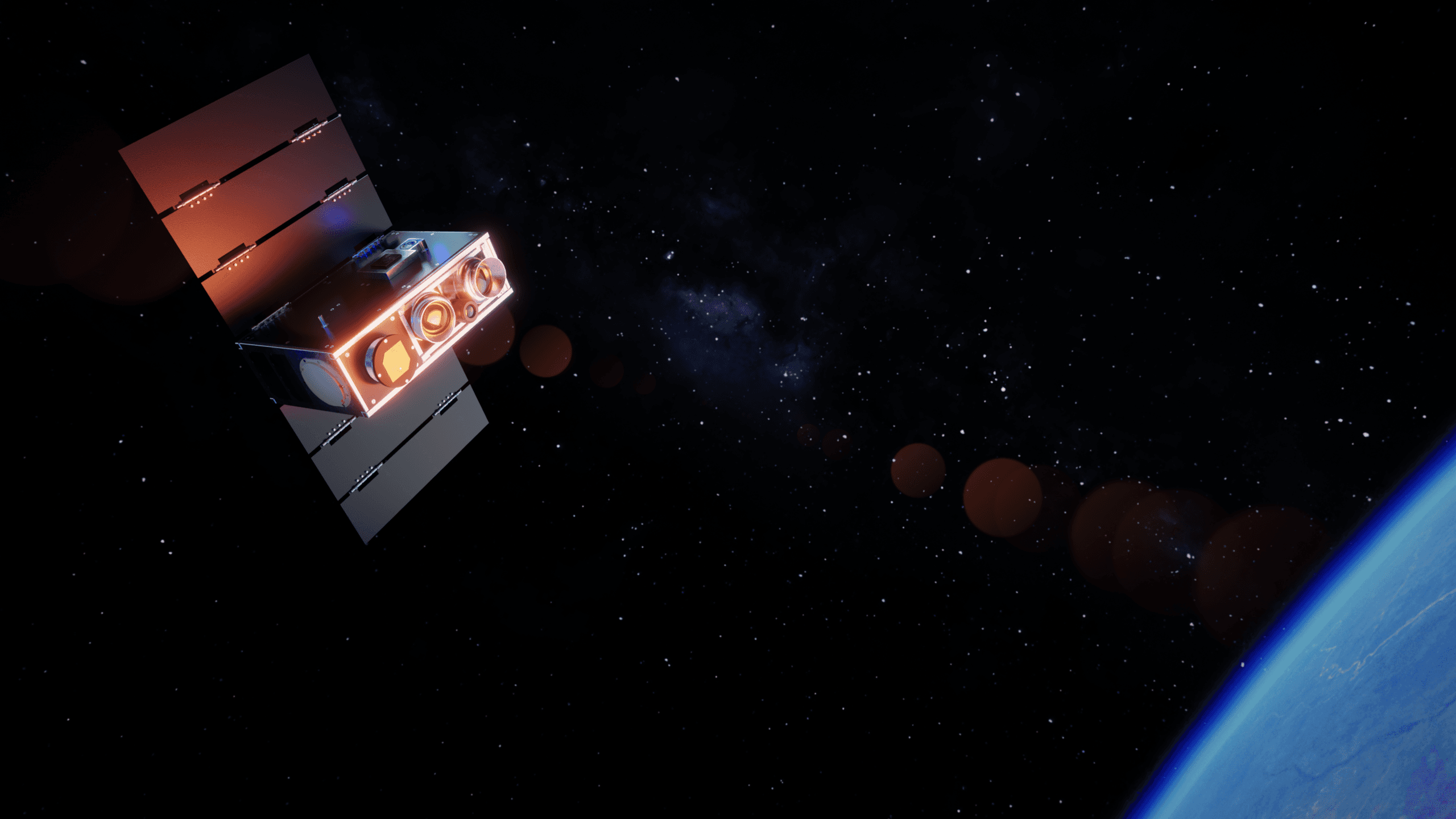

18 satellites in 18 months: Munich-based spacetech company Ororatech is expanding its Earth thermal observation network. Following the successful launch of Forest-20, its constellation now comprises 20 infrared satellites. The new satellite is primarily intended to improve monitoring during morning hours, thereby reducing the time between the outbreak of a wildfire and alerting emergency services.
Forest-2 was launched from Vandenberg Space Force Base in California, USA. It expands the network so that thermal images are available more frequently throughout the day, from early morning to late evening. This allows Ororatech to detect changes on the Earth’s surface earlier and analyze them more quickly.
More eyes in space, faster warnings on the ground
For wildfire protection, what matters is how quickly a detected fire turns into actionable information. The additional observations are intended to shorten this timeframe. All captured data flows directly into Ororatech’s “Wildfire Solution” platform. There, customers can spot new fires, monitor ongoing operations, and track changing conditions.
The platform combines thermal data from its own network with data from public satellite systems. With each additional satellite, Ororatech aims to close observation gaps and map the development of fires with greater precision.
Infrastructure instead of individual missions
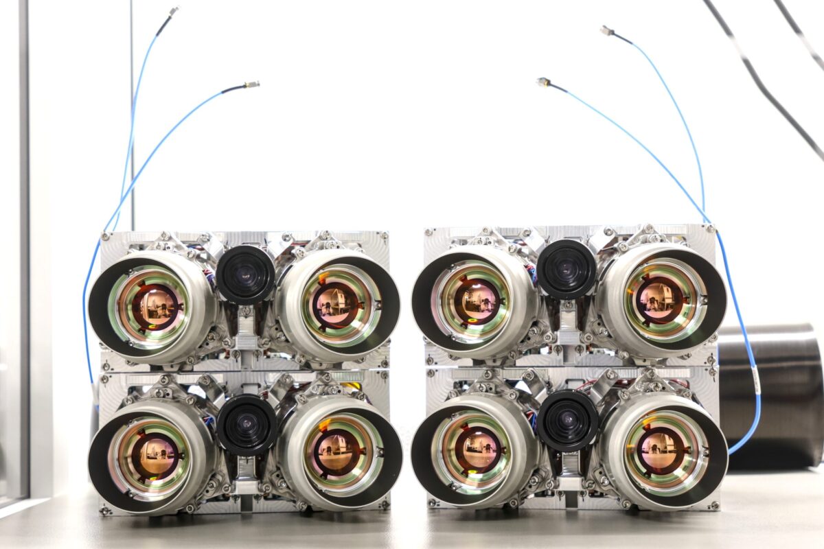
The company is pursuing a two-pronged approach for its expansion: launching its own satellites into space and flying infrared sensors as payloads on satellites from other providers. The goal is to build an infrastructure that detects thermal changes on Earth with minimal gaps and virtually in real time.
Ignacio Zuleta, Chief Technology Officer at Ororatech, says:
“Instead of individual missions, we are continuously building a thermal infrastructure in space.”
Zuleta sees the pace of expansion as proof of the company’s ability to scale:
“18 thermal satellites in 18 months demonstrate just how quickly we can scale. With Forest-20, we now have 20 of our own satellites in orbit. Every additional satellite makes our thermal data more frequently available, more comprehensive, and more valuable.”
Thermal imaging can do more than detect fires
Ororatech is also aligning its infrastructure with applications beyond wildfire protection. The satellites provide surface temperature data on land and at sea. This makes it possible to measure and evaluate temperature fluctuations, and to develop further applications based on thermal data.
Zuleta describes the long-term ambition as follows:
“Our goal is to make natural and human activities visible using thermal data – anywhere on Earth and the moment they happen.”
Ororatech was founded in 2018 and is headquartered in Munich. The company employs more than 180 experts and also operates in the US, Greece, Australia, Brazil, and Canada.