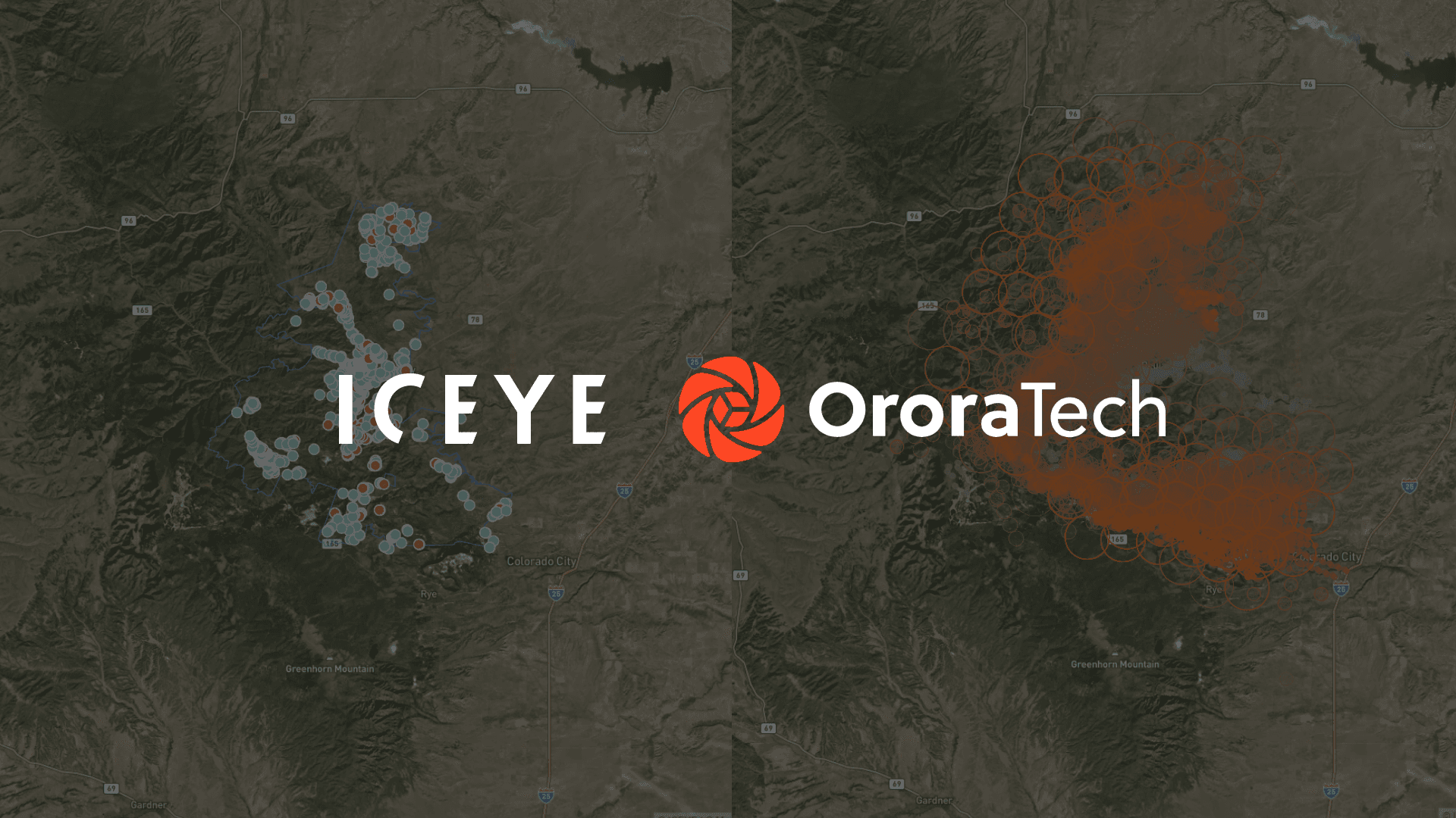

The alliance between Ororatech and Iceye makes it possible to combine thermal satellite data with radar technology to detect fires early, track their spread, and, according to the companies, assess building damage within 24 hours.
The unique feature of the partnership lies in combining two distinct satellite technologies: While Ororatech uses thermal data to identify heat sources and monitor active fire fronts, Iceye provides information on damage to buildings and infrastructure using Synthetic Aperture Radar (SAR). The radar satellites can make observations in the dark as well as through smoke and clouds.
With this, the companies aim to improve what has often been a fragmented information landscape. Instead of using separate systems for fire detection, operational planning, and damage assessment, authorities, energy utilities, and insurance companies will be able to access a shared database in the future.
For Ororatech, the partnership means expanding the application possibilities of its satellite-based wildfire technology. The Munich-based company contributes its expertise in thermal Earth observation to a solution that will also capture the economic and infrastructural consequences of natural disasters.
Thermal satellites and SAR radar: How wildfire monitoring works
The joint platform is designed to cover the entire lifecycle of a wildfire – from initial detection to assessing the resulting damage.
Ororatech provides thermal satellite data to identify temperature anomalies and active hotspots. The technology makes it possible to detect hotspots early and track changes in the fire front over time.
Iceye supplements this information with SAR radar observations. Unlike optical satellite systems, SAR does not rely on daylight and can capture the Earth’s surface even through cloud cover. According to the company, the technology enables building-level damage assessments even while a wildfire is actively burning.
By combining both data sources, emergency responders will be able to identify not only where a fire is burning, but also which settlements and infrastructure are potentially affected and what damage has already occurred.
This is particularly relevant for wildland-urban interfaces, the transition zones between vegetated areas and built environments. In these areas, wildfires can have an immediate impact on residential neighborhoods, transportation routes, or power grids.
Damage assessment within 24 hours instead of weeks
A key use case of the partnership is the faster assessment of wildfire damage. According to Iceye and OroraTech, corresponding damage analyses for disaster declarations are expected to be available within 24 hours. Until now, such assessments could take several weeks, according to the companies.
The integrated satellite data is aimed in particular at three user groups:
- Emergency management and public authorities: Emergency services can use observed fire sources and fire fronts to deploy resources more purposefully, prioritize evacuations, and coordinate measures across agencies.
- Energy and utility companies: Operators of critical infrastructure can detect potential hazards to power grids earlier and prioritize repair or safeguarding measures.
- Insurance companies: Insurers can identify potentially affected buildings faster, prioritize claims, and plan reserves based on more up-to-date information.
The companies anticipate shorter decision-making times and better coordination among the participating organizations.
Ororatech Expands Scope of Application for Its Thermal Satellite Data
For Munich-based startup Ororatech, the collaboration opens up additional use cases beyond wildfire detection alone. By integrating Iceye data, thermal observations can be linked with information on damage to buildings and infrastructure.
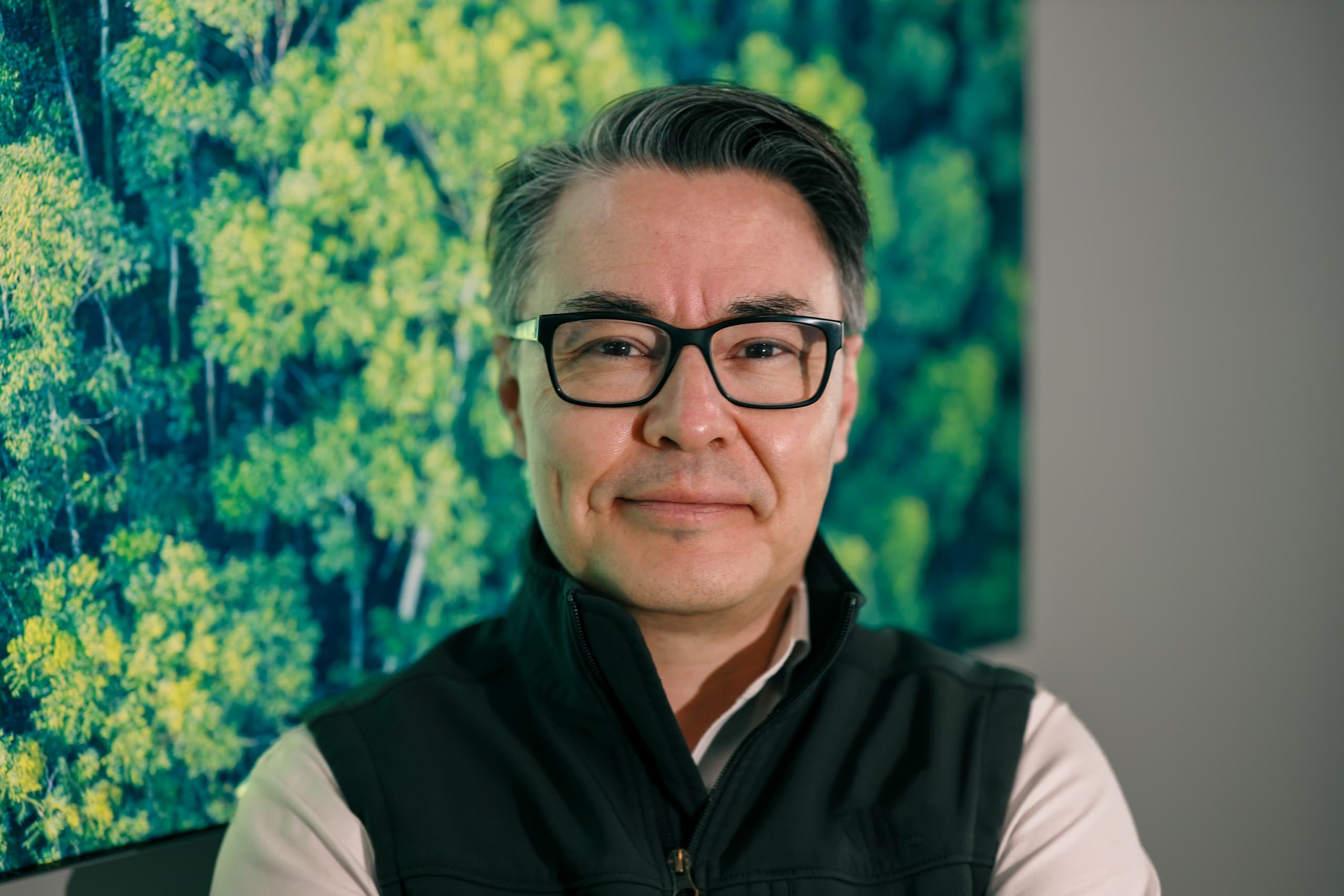
“The sooner organizations detect and understand a wildfire, the more time they have to make well-informed decisions as the situation evolves,”
explains Ignacio Zuleta, Chief Technology and Product Officer at Ororatech.
The company’s thermal satellite data is intended to deliver information particularly during the early phases of a fire. The collaboration with Iceye expands this perspective to include the later impacts of a fire event.
Iceye also views the integration as a strategic expansion of its existing offering. The Finnish company was already able to analyze building-level damage with its SAR technology. Ororatech’s thermal data now complements the detection and monitoring of active fires.
“Wildfires are dynamic events, and the information decision-makers need must evolve with them. It’s about understanding where a fire starts and how it spreads, what could be in its path, and what is ultimately affected,”
says Will Panchaud, Senior Director of Product Management, Solutions at Iceye.
With this, the companies aim to create a shared information foundation for the various phases of a wildfire.