
This content was machine translated.
About TerraLoupe GmbH
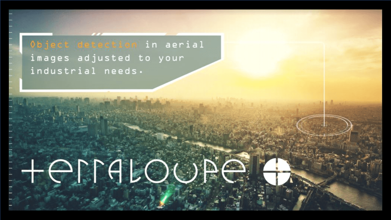
TerraLoupe analyzes geospatial image data using deep learning to automatically create a digital representation of the environment with all its information. TerraLoupe’s core competency is the intelligent processing and analysis of large volumes of precise geospatial image data: aerial images are transformed into virtual 3D worlds for commercial use. Objects such as windows, roof surfaces, street signs, etc. are automatically detected, classified, and precisely measured using intelligent AI algorithms.
More like this
Discover more articles, startups, and events from the ecosystem

Ecosystem
Munich Startup Recap 41/26
11.10.26
2 Min.
Inside Stories
Defencetech: Why Europe’s Billions Are Flowing to Munich
09.10.26
4 Min.

Interviews
Kiolo: Making Sure Important Conversations Aren’t Lost
09.10.26
3 Min.

Networking
Munich Impact Co-Founder Matching
October 12, 2026
05:00 PM – 06:30 PM
Department of Labor and Economic Development, Munich

Conference
BaFin Pop-up Embassy
October 13, 2026
09:00 AM – 05:00 PM
WERK1, Munich
